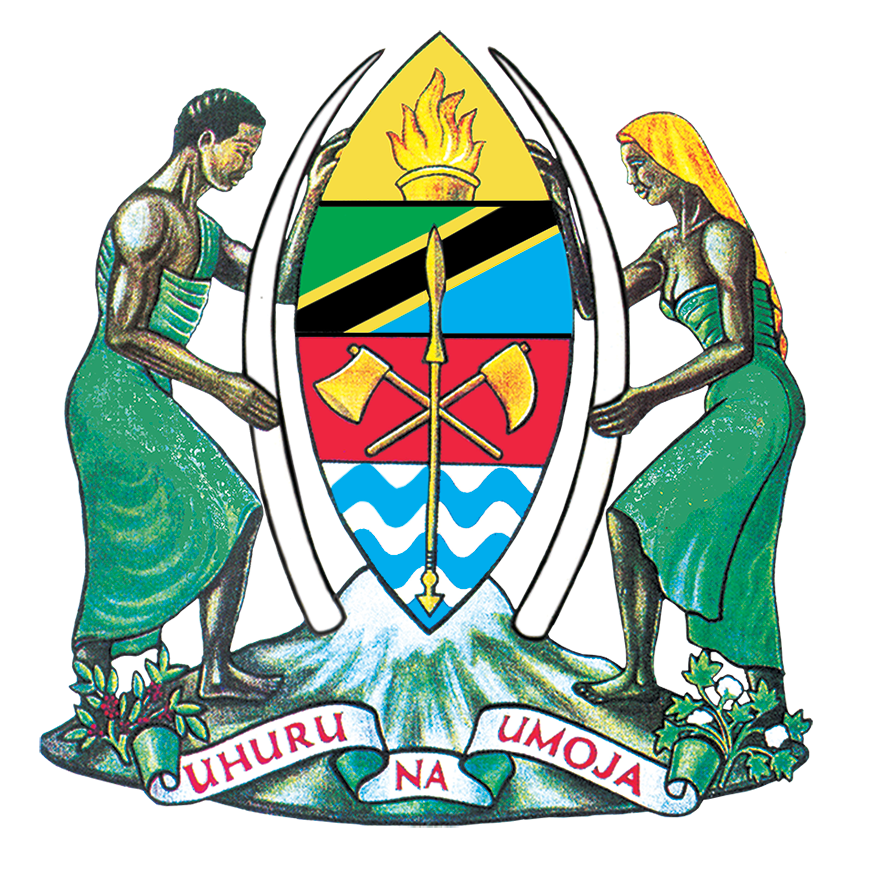
The United Republic of Tanzania was established in 1964 when the sovereign states of Zanzibar and Tanganyika united. Tanzania is 947,300 km2, which includes 54,337 km2 of inland water. The island of Pemba is roughly 984 km2 and the island of Zanzibar is 1,657 km2. One of the five countries in East Africa, Tanzania is located south of the equator.
Mainland Tanzania is situated between the area of Tanganyika, the Great Lakes of Victoria, Nyasa and the Indian Ocean. It boasts roughly 1,400 kilometres of coastline and is bordered by eight countries: Uganda, Burundi, Kenya, Rwanda, Zambia, Malawi, the Democratic Republic of the Congo and Mozambique. Due to six of these countries being landlocked, Tanzania provides natural access to the region. Between the years 2006 to 2014, Tanzania’s GDP grew at an average rate of 6.9%.
This growth record has been outstanding. It has ranked among the top 10 fastest-growing world economies and has been above the Sub-Saharan average of 5.2%The overall picture points to a prosperous future where the per capita income is growing at an average rate of 7%, thus raising the level of consumptive expenditure. The deficit balance of trade informs prospective investors that there is a huge potential to exploit and utilize available duty-free market opportunities in the European Union (EU), the United States of America and South Africa, to mention a few. For a period of 10 years, export value has grown by about 90% while imports recorded a growth of 70%. The headline inflation rate remained a single digit in 2014 and the first quarter of 2015. The inflation rate averaged 6.1% in 2014 compared to 7.9% in 2013.

